Neighbourhoods
Where The City Grew After The Bridge Opened
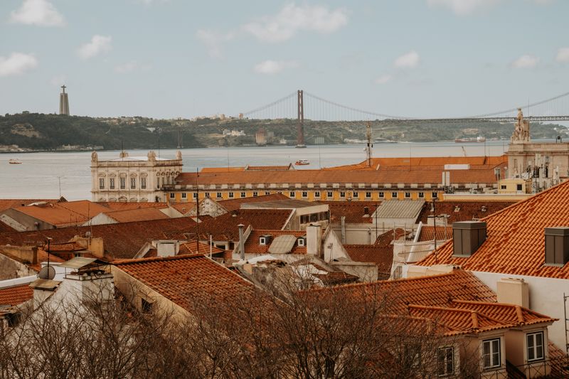
The road bridge across the Tagus turned the south bank from a ferry destination into a commuter suburb, and the pattern of that growth is still legible.

For most of its history Lisbon faced a south bank it could reach only by boat. A road bridge changed that, and the settlements opposite grew into something new.
The ferry set the old pattern
Before the bridge, crossing meant a boat, which constrained daily commuting to those living near a landing. Settlement clustered tightly around the ferry points.
Those towns had their own economies of fishing, shipbuilding and industry rather than functioning as suburbs. They faced the water rather than the city.
That history is why the old cores on the south bank feel like separate towns. They were.
The bridge converted distance into time
A fixed crossing made the south bank reachable by car in minutes rather than by a scheduled boat. Land that had been remote became commutable overnight.
Housing followed, at a scale and density the old towns had never seen, filling the ground between them. Growth was rapid and largely residential.
American readers will recognize the postwar bridge-and-highway suburbanization pattern. The mechanism was the same even where the buildings are not.
Apartment blocks rather than subdivisions
The new housing took the form of mid-rise and high-rise blocks rather than detached houses on lots. Density stayed high because that is how Portuguese cities build.
The result is suburbs that look urban, with apartment towers, local shops and bus routes rather than cul-de-sacs. Car ownership rose without the landscape becoming American.
Services and infrastructure often lagged the housing by years, which is a common complaint about that period of building. Schools and transit caught up afterward.
Rail arrived much later and reorganized things again
Adding rail across the river shifted the advantage toward places near the new stations. Some towns that boomed on road access were overtaken by others on the line.
Journey times by train made a second wave of settlement viable further from the crossing. The commuter belt extended along the tracks.
So the south bank contains layers: pre-bridge towns, road-era blocks and rail-era growth. Each layer looks different from the others.
Why the bank still reads as separate
The river is wide, the crossings are few and both charge or congest at peak hours. Physical separation persists despite the connection.
Residents there identify with their own towns rather than with Lisbon, and local government is genuinely separate. The relationship is closer to a metropolitan area than to a district.
For a visitor the practical consequence is that a trip across is a trip out of the city. The ferry still makes that plain in a way the bridge does not.
Questions readers ask
Which neighbourhood should I stay in?
For a first short visit, somewhere central and flat is easiest. For a longer stay, one stop out is usually quieter, cheaper and more interesting.
Is the old town safe at night?
Generally yes, with ordinary caution. Pickpocketing in crowds is the realistic risk rather than anything more serious.
Also by Helena Sá
- Roast level is a decision about acidity, not about strengthCafés & Coffee
- Why the same beans taste different in two cafesCafés & Coffee
- Portuguese espresso is not a smaller Italian oneCafés & Coffee
- Grind is the dial that moves everything elseCafés & Coffee