Neighbourhoods
The lower grid and why it feels unlike the rest of the city
One district was rebuilt to a plan after catastrophe, and its right angles are an argument about how a city should work.
Both approaches to the lower town work. What differs is what they cost you, and the cost is what this sets out.
The difference in one place
- The grid is a deliberate eighteenth-century reconstruction, not organic growth.
- Buildings were engineered with an internal timber frame to resist earthquakes.
- Flat, regular streets make it the easiest central area to walk.
Built after the ground moved
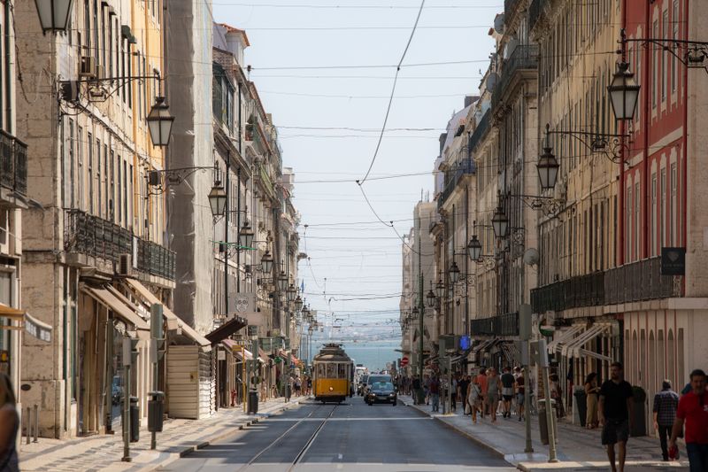
The earthquake of 1755, followed by fire and a tsunami along the river, destroyed the low-lying commercial heart of the city. The reconstruction replaced a medieval tangle with a rectangular grid running between two large squares.
It is one of the earliest large-scale examples of a European city being rebuilt to a single rational plan. That plan is why the district feels administrative and orderly in a city that is otherwise neither.
Engineering inside the walls
The rebuilt blocks used a three-dimensional timber cage inside the masonry, designed to flex rather than shatter. Structural elements were standardised and prefabricated to a degree that was unusual for the period. Street widths were set in relation to building heights so that a collapsing façade would not close the road.
These were seismic design decisions taken in the eighteenth century and they are still visible in the fabric.
Streets named for trades
Several streets in the grid carry the names of the crafts that were assigned to them in the reconstruction. The plan allocated occupations to blocks, which is a level of state direction that would be hard to imagine now. The trades have almost entirely gone and the names remain, which is a common fate for planned districts.
Put simply, reading the street names as a directory of a vanished economy is a genuinely interesting twenty minutes.
How it behaves as a place to walk
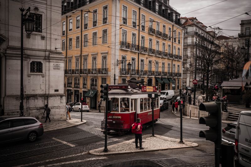
It is flat, which after a day on the hills is a physical relief rather than an aesthetic preference. The long straight streets funnel wind from the river, which is welcome in August and unpleasant in February. Shade depends entirely on which way a street runs, and the north-south ones bake at midday.
Distances are short and legible in a way they are not in the older quarters uphill.
What it is used for now
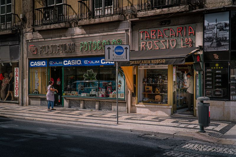
The ground floors are overwhelmingly retail and hospitality aimed at people passing through. Residential occupancy in the district has fallen a long way over the last century, and much of the upper-floor space has shifted to short-term letting and offices. That mix is why the area empties in the evening in a way that residential neighbourhoods do not.
The useful part is this: it also means café prices here run above the streets a few minutes uphill.
Using it as a hinge
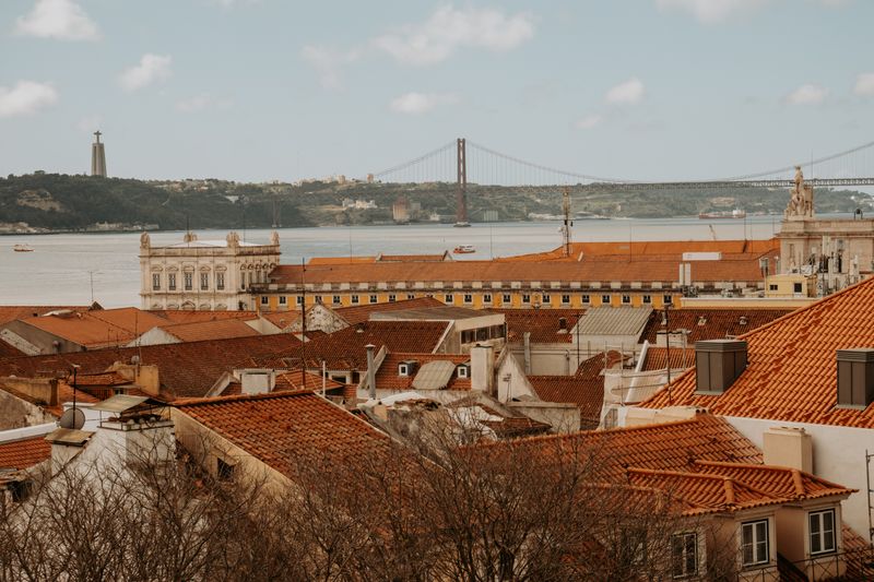
The grid is the natural transfer point between the river, the castle hill and the western slopes. Crossing it is quick; lingering in it is the expensive option. The public lifts and the funiculars at its edges exist precisely because it sits at the bottom of two hills.
Treat it as the floor of the city rather than as a destination and it becomes much more useful.
Side by side
| Consideration | What it means in practice |
|---|---|
| Built after the ground moved | The grid is a deliberate eighteenth-century reconstruction, not organic growth. |
| Engineering inside the walls | Buildings were engineered with an internal timber frame to resist earthquakes. |
| Streets named for trades | Flat, regular streets make it the easiest central area to walk. |
The takeaway
The grid is the flat, planned floor of a city that is otherwise steep and improvised.
Pick the one that costs you least, and let the rest wait.
Questions readers ask
Is it worth staying in the grid?
It is central, flat and well connected, and it is also noisy, commercial and quiet at night in an unsettling way. Many people prefer a residential street one hill up.
Are the original buildings still standing?
Much of the eighteenth-century structure survives, heavily altered inside. Ground floors have been rebuilt repeatedly and upper floors vary enormously in condition.
Also by Helena Sá
- Alfama, Graça and the difference two streets makeNeighbourhoods
- Roast level is a decision about acidity, not about strengthCafés & Coffee
- Why the same beans taste different in two cafesCafés & Coffee
- Portuguese espresso is not a smaller Italian oneCafés & Coffee