Neighbourhoods
The Valleys Became Avenues And The Hills Kept Their Names
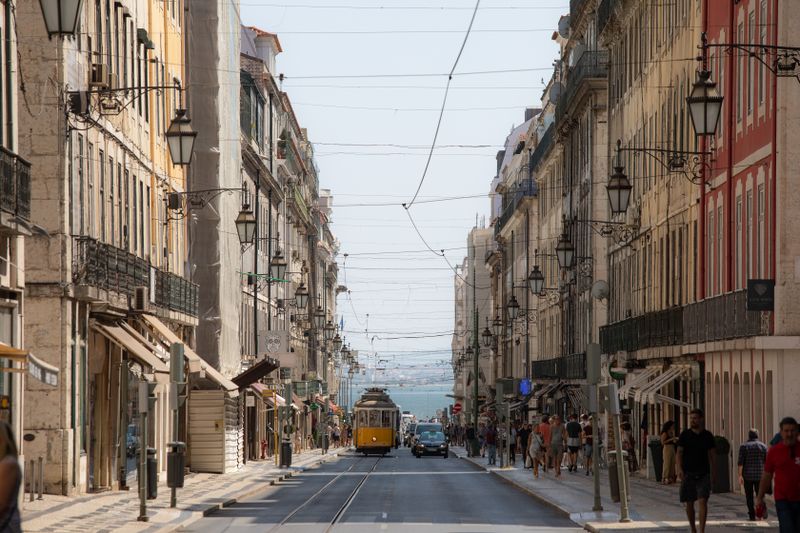
The city's wide straight streets follow old valley floors and stream lines, while the neighbourhoods with names and identities sit on the hills between them.

The city's broad avenues and its named neighbourhoods occupy different parts of the terrain. Once you notice which is which, the street map becomes far easier to read.
Streams ran where the avenues now are
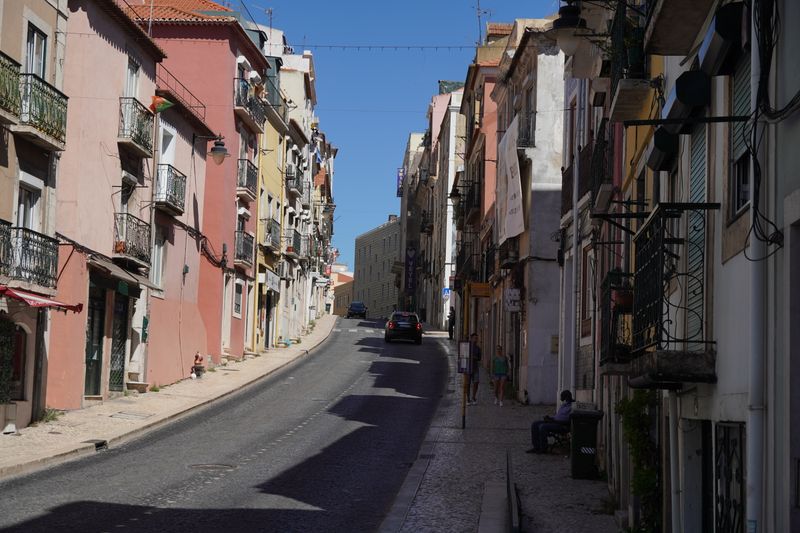
Before the city covered them, small watercourses ran down the valleys between the hills towards the river, and those valley floors were the only flat routes available.
Roads followed them because a valley floor offers a gentle gradient, and because the ground was already cleared of building by the water.
The streams were later culverted and built over, which is why several major streets sit above a buried watercourse and flood in a heavy storm.
Hills were built on and named
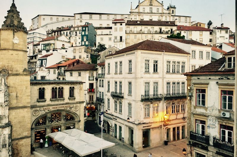
The high ground between valleys was settled early, on defensible and healthier sites, and each hill developed a distinct settlement with its own church and square.
Because a hill is bounded by slopes, those settlements had natural edges, and the community inside them was more separate than distance alone implies.
That separation is why hill neighbourhoods have strong identities and long-established names, while the valleys between them are usually known by the street.
Movement follows the valleys, so trade does too
Traffic, trams, buses and most through movement use the valley routes, because climbing is slow and steep gradients limit what vehicles can do.
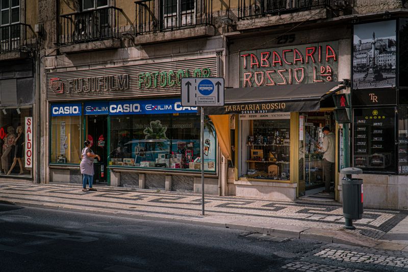
Commerce concentrates along those lines accordingly, which is why the big shopping streets are in the low ground and the hills hold small local shops.
It also means two adjacent neighbourhoods on facing hills may have little to do with each other despite being close as the crow flies.
The connections between levels are engineered
Getting from a valley to the hill beside it requires stairs, a funicular, a lift, a long ramp or a switchback street, all of which are deliberate structures.
These connections are relatively few, which concentrates pedestrian movement onto particular routes and leaves whole hillsides quiet.
Finding the connection near you is the single biggest improvement to daily walking here, and locals' routes are shaped almost entirely around them.
Weather divides along the same lines
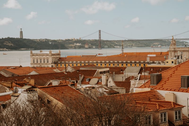
Valleys hold still air and heat, while ridges catch wind from the ocean and the estuary, which produces a noticeable difference over a short distance.
In summer this makes the low streets considerably less comfortable in the afternoon, and it is why the hill squares fill in the evening.
In winter the pattern reverses somewhat, with exposed ridges taking the weather and the sheltered valleys staying calmer.
Questions readers ask
Which neighbourhood should I stay in?
For a first short visit, somewhere central and flat is easiest. For a longer stay, one stop out is usually quieter, cheaper and more interesting.
Is the old town safe at night?
Generally yes, with ordinary caution. Pickpocketing in crowds is the realistic risk rather than anything more serious.
Also by Helena Sá
- Roast level is a decision about acidity, not about strengthCafés & Coffee
- Why the same beans taste different in two cafesCafés & Coffee
- Portuguese espresso is not a smaller Italian oneCafés & Coffee
- Grind is the dial that moves everything elseCafés & Coffee