Neighbourhoods
The Riverfront Was Industry Before It Was A Promenade
Lisbon's walkable waterfront is recent, built on land reclaimed for docks and railways, and the pattern of what sits there now follows what the port left behind.

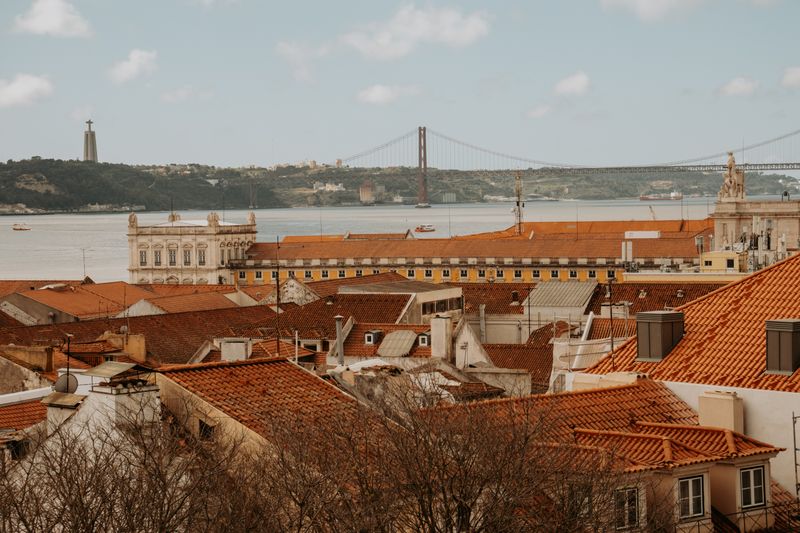
The riverside walk along the Tagus reads as a natural edge to the city. Most of it is engineered ground, and its current uses are shaped by what stood there before.
The water used to come further in
Successive reclamation pushed the shoreline outward to create quays, warehouses and rail approaches. Streets that once ended at the water now sit several blocks inland.
That is why some old buildings face away from the river across an apparently pointless gap. They were once looking directly at it.
American readers will recognize the pattern from harbor cities where downtown sits on fill. The made ground is the working part.
The railway cut the city off from the water
Freight lines and roads were laid along the reclaimed strip to serve the docks, forming a barrier between neighborhoods and the river. Crossings were few and industrial.
For most of the twentieth century the waterfront was a place of work rather than leisure, and residents had little reason to go there. The separation was functional.
Reconnecting the two required bridging or removing that infrastructure, which is why access is still uneven. Some stretches are easy to reach and some remain awkward.
Containers moved the port and emptied the sheds
Containerization requires deep water, large cranes and enormous land area for stacking, none of which fits an old urban quay. Cargo handling moved to purpose-built terminals.
That left long runs of warehouses and quays without a function, which is the raw material for everything that has happened since. Vacancy preceded reinvention.
The same sequence produced converted waterfronts in American port cities within the same decades. The cause was global rather than local.
What replaced the cargo, and why
Large clear-span sheds suit uses that need volume rather than daylight, so bars, clubs, markets and event spaces arrived first. The building type selected its tenants.
Cruise terminals and marinas took the deep-water frontage, since ships still need the same edge. Passenger traffic replaced freight in the same berths.
Offices and housing followed where the land could be cleared and rebuilt outright. Those stretches look nothing like the ones that kept their sheds.
Why the walk still breaks up
Working port land, rail infrastructure and private sites interrupt the continuous riverside path in several places. The gaps are not oversights but active uses.
Where the walk resumes, the character often changes sharply, because each stretch was converted separately and at a different time. Continuity of surface hides discontinuity of history.
Walking it end to end is therefore a tour of successive decisions about what a waterfront is for. The seams are the informative part.
Questions readers ask
Which neighbourhood should I stay in?
For a first short visit, somewhere central and flat is easiest. For a longer stay, one stop out is usually quieter, cheaper and more interesting.
Is the old town safe at night?
Generally yes, with ordinary caution. Pickpocketing in crowds is the realistic risk rather than anything more serious.
Also by Helena Sá
- Roast level is a decision about acidity, not about strengthCafés & Coffee
- Why the same beans taste different in two cafesCafés & Coffee
- Portuguese espresso is not a smaller Italian oneCafés & Coffee
- Grind is the dial that moves everything elseCafés & Coffee