Day Trips
Upriver Where The Tagus Stops Being A Sea
East of the city the estuary narrows into a river with flat farmland, bull-breeding country and marsh towns, which is a completely different day out from the coast.

Most trips out of the city head west to the coast. Heading east instead follows the estuary until it narrows into a river, and the country there works differently.
The estuary is two bodies of water
Near the city the Tagus is wide, tidal and salt, and behaves like an inland sea. Further upstream it narrows sharply into something recognisably a river.
The transition happens across a stretch of shallow water and mudflat where fresh and salt mix, which is why the bird life concentrates there.
That mixing zone also decides the farming. Land near the water is subject to flooding and salt, and is used accordingly.
The flood plain is working farmland
The flat land along the upper estuary is alluvial and highly fertile, built up by silt the river dropped over a long period.
It floods, which is the price of the fertility, and the settlements sit on the slightly higher ground at the edge rather than in the middle.
Fields here are large and open, which is unusual in a country of small plots, and the openness is the first visible difference from the coast.
Horses and cattle are the local industry
The plain is grazing country, and the region is associated with cattle raised for the bullring and with a strong horsemanship tradition tied to that work.
Whatever a visitor thinks of the bullfight itself, the breeding, riding and herding culture is the reason these towns look and function as they do.
Their festivals are built around that calendar, which means a town can be quiet for most of the year and completely full for a week.
The towns face the water differently
Coastal towns are oriented towards a beach and a harbour. River towns here face a working waterfront of dykes, jetties and flood defences.
Several have raised embankments along the front, which double as promenades and are the best place to see how the settlement manages the water.
Boat types differ too: flat-bottomed river craft rather than sea boats, built for shallow water and cargo rather than for waves.
Why it makes a better day than it sounds
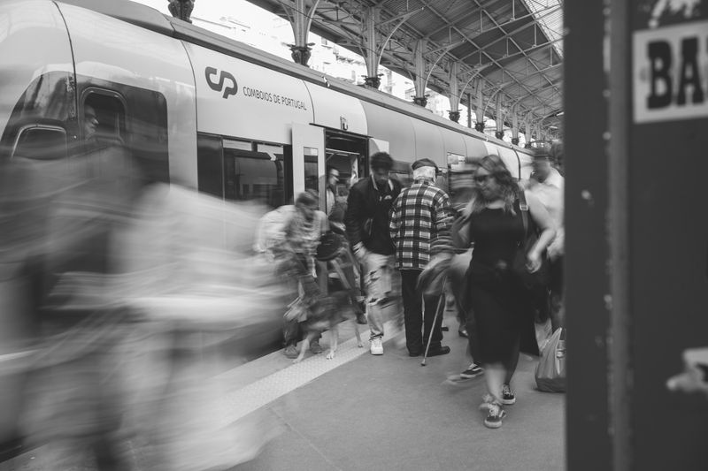
The train line east follows the water closely for a long stretch, so much of the interest happens through the window before arrival.
The towns are small enough to walk in an hour and are geared to their own residents rather than to visitors, which changes the tone of a lunch considerably.
It is also the flattest day trip available from a city built on hills, which for some people settles the question on its own.
Questions readers ask
Is it worth the trip on its own?
Not really. It is a cliff and a lighthouse. Combine it with the coast walk or a nearby town and it becomes a good day.
Why is it so cold there in summer?
Wind acceleration over the headland, cold upwelled water offshore, and no shelter at all. Wind chill does the rest.
Also by Inês Carvalho
- How to order coffee in Lisbon without overthinking itCafés & Coffee
- The hills are the transport systemPracticalities
- Sintra in a day, done properlyDay Trips
- What catches visitors outPracticalities