Practicalities
The metro is small; the buses are the real network
The underground covers a handful of corridors and misses most of the city. Once you accept that, getting around becomes much easier.

This works through buses and metro in the order the parts actually depend on each other.
The short version
- The metro serves a few corridors rather than the whole city.
- Buses reach the hills and the districts the metro does not.
- Route numbers and directions matter more than maps here.
What the metro is good for
The underground works well for long straight journeys along its corridors, particularly to and from the airport and the outer districts. It is fast, frequent and unaffected by traffic, which matters in a city where surface transport can be badly delayed.
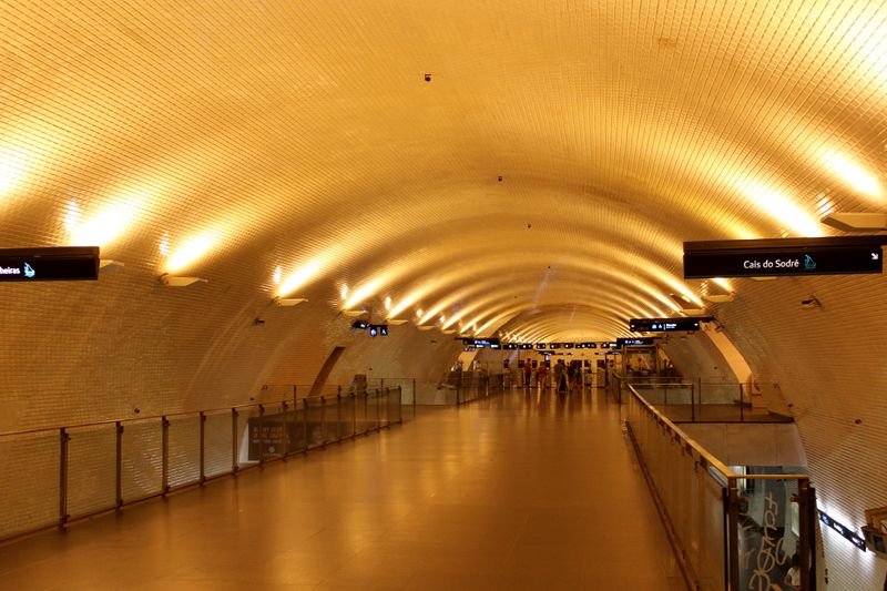
Stations are relatively far apart, so it is a network for crossing the city rather than for moving within a neighbourhood. Several stations are notable for their tile work, which is a genuine incidental pleasure of using it. Where the metro goes where you are going, it is unambiguously the best option available.
Where it does not go
Large parts of the historic hillside city have no metro at all, because tunnelling under old foundations on steep ground is difficult and expensive. That means many of the districts visitors most want to reach are served by surface transport or by walking.
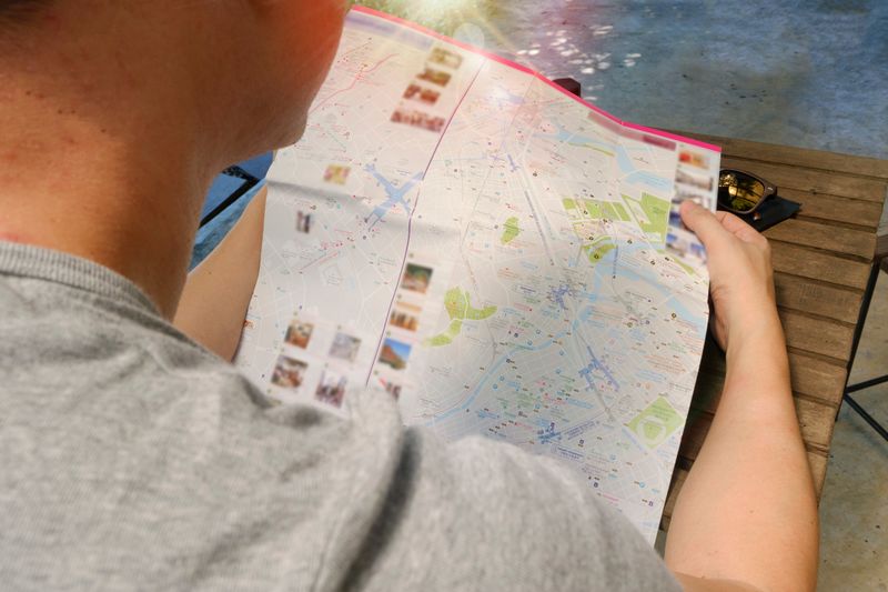
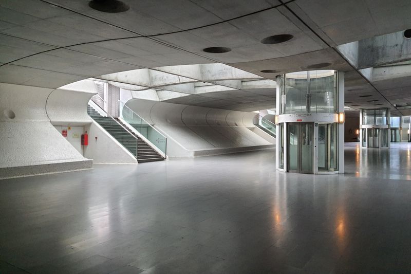
Put simply, stations that look close on a map may involve a substantial climb from the platform to the street and then further uphill. Depth varies considerably, and some stations involve long escalator runs that add several minutes to a journey. Judging distance from a metro map rather than from a street map is the classic mistake in a city built on hills.
Why buses do the heavy lifting
The bus network covers the gradients, the residential districts and the connections between them that no rail line serves. Buses here climb streets that feel implausible for a large vehicle, which is a large part of how residents actually move.
Frequencies vary a great deal by route and by time of day, so a route that is easy at midday can be sparse in the evening. Live arrival information at stops and in apps has made the network far more usable than it once was. Learning two or three routes near where you are staying is worth more than any general understanding of the system.
Reading a route
Buses display a number and a destination, and the destination is what tells you which direction you are travelling. A route can follow different streets in each direction, particularly in the old quarters, because many lanes are one way. That means the stop you got off at is frequently not the stop you catch the return from, which surprises people.
In practice, checking the return stop when you arrive somewhere takes a moment and saves confusion later.
Stops are request stops in practice on quieter routes, so signalling to the driver is expected.
Trams beyond the famous one
Several tram routes are ordinary transport used by residents, and they are far less crowded than the celebrated one. Modern articulated trams run on some routes and are a completely different experience from the small historic cars. Trams share street space with traffic in many places, so they are subject to the same delays as buses.
The useful part is this: where a tram route runs on a segregated alignment, it becomes fast and reliable in a way the shared sections are not. Treating trams as buses that run on rails, rather than as attractions, gives a much more accurate expectation.
Adjust the size of it until it is something you would actually do tired.
Putting it together
The efficient pattern is metro for the long axis, bus or tram for the climb, and walking for the last stretch. Journey planning apps handle this well and account for gradient poorly, so check the elevation of the final walk. Allow more time than an app suggests during peak hours, when surface transport slows considerably.
For short distances in the old quarters, walking almost always beats waiting, unless the route is steeply uphill. The single most useful habit is checking whether a journey is uphill before deciding to walk it.
The takeaway
Metro across, bus up, walk the rest. Check the gradient before you commit to walking.
Small and repeatable beats ambitious and abandoned, almost every time.
Questions readers ask
Can I get everywhere by metro?
No. It covers a few corridors and misses much of the hillside city. Buses and trams do most of the work in the old quarters.
Why is the return bus stop somewhere else?
Many old streets are one way, so routes follow different streets in each direction. Check the return stop when you arrive.
Also by Inês Carvalho
- How to order coffee in Lisbon without overthinking itCafés & Coffee
- The hills are the transport systemPracticalities
- Sintra in a day, done properlyDay Trips
- What catches visitors outPracticalities